


Environment Canada Meteorologist Geoff Coulson says we can expect warmer temperatures in Oxford County next week.
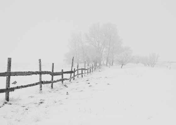
OXFORD COUNTY - We are in store for at least one more frigid cold week in Oxford County.
Environment Canada Meteorologist Geoff Coulson says we can expect some relief starting early next week.
"There is some indications now as we get into the last week and a half of the month, we could see temperatures getting back to more seasonal values. So that would see daytime highs of minus 1 and overnight lows of minus 9. Certainly we have experienced weather a lot colder than that over the last number of days, but we are seeing some moderation in that temperature trend over the last week and a half of the month."
Coulson also says we could be in for another snowfall Thursday night, but nothing is set in stone yet.
"The models don't seem to be firming up the track just yet. Some of the models are taking the system a little further to the south and that would cut down on the snow amounts for the Woodstock and Oxford County area. Other models are bringing the system further north and that would bump the amounts up again."
Another snowfall warning will be issued if it looks like we'll receive another 15 centimetres of snow.
 Bill C-242 Back for Debate in Ottawa
 Kim Mitchell to Headline Woodstock Canada Day
 OPP Investigating Highway 401 Crash
 PJHL Playoff Recap - March 20th to March 21st
 Air Canada Plane Crashes in New York
 Deadline Approaching for OCF Maple Leaf Fund
 EZT Open House to Highlight Population Growth
 Ontario to Cap Ticket Resale Prices
 News Poll: Doherty Division Championship 2026
 Embro-Ohio Hockey Exchange Celebrates 50 Years
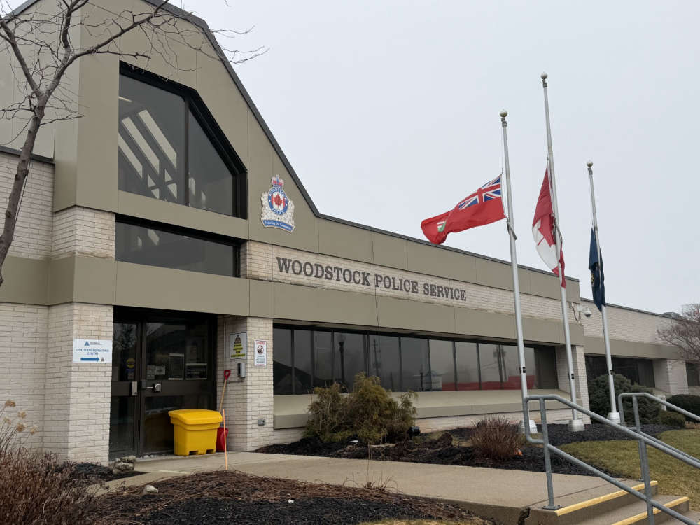 Woodstock Police 2025 Numbers
 AHL Returning to Hamilton
 March for Meals in Oxford County
 Spring Forecast for Oxford County
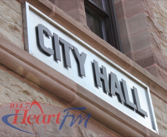 Woodstock Approves 2026 Revenue Budget
 PJHL Playoff Preview - Mar. 20th to Apr. 1st
 Thistle Theatre Presents: Mighty Men of Zorra
 BBBS Oxford Approaching Fundraising Goal
 Ottawa Funding New Facility for IMT Precision
 Brant OPP Investigating Missing Person Case


Comments
Add a comment