


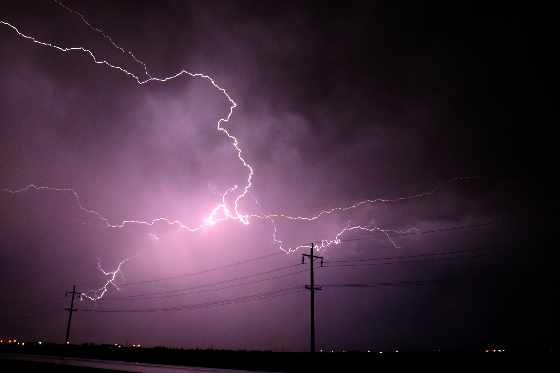
Heavy rain and thunderstorms this afternoon, mixed with a cold front will end the heat wave for Southwestern Ontario, including Oxford County.
OXFORD COUNTY - The heat wave is expected to end later today with a cold front storm moving into Southwestern Ontario.
Meterologist with Environment Canada Gerald Cheng says we can expect storms today and tomorrow.
"This is a system coming from the West, the tropical system down south Elsa, is not merging with it at this point, so we are really working with the moisture from the system coming from the West."
Cheng says some areas are going to get hit with a lot of rain, and some areas not so much.
"It really depends on where these storms develop and where they track. One area could be different from another. Hopefully we get some rain, because we didn't get a lot of rain for a little while, so now Mother Nature is making up for it, we just hope it doesn't come all at once."
The forecast is calling for heavy rain starting 6:00 pm, with the threat of a thunderstorm lingering all afternoon. The daytime high for Thursday is 20 with showers, a potential for thunderstorms and a maximum of 25 mm of rain.
 Assault Charges Laid in Tillsonburg
 Upcoming WAG Exhibit Celebrates Peanuts Creator
 Operation Impact Underway for Thanksgiving
 PJHL Preview - Oct 9th and Oct 10th
 Navy Vets Preview - Oct 9th and Oct 10th
 News Poll: Advanced Voting in Oxford County
 Collision Causes Delays on Highway 401
 Soupstock Returns this Fall
 WFD Shares Tips for Thanksgiving
 OCAR Prepares for Thanksgiving Bake Sale
 Free Thanksgiving Dinner at Unifor Local 636
 An Altercation Leads to Charge
 Collision Sends Two to Hospital
 Interview with Woodstock Police Service - Oct. 7th, 2026
 Walk In Their Shoes Fast Approaching
 Woodstock Police Briefs - October 7th, 2026
 UPDATE: Charges Laid in Waterford Crash
 Oxford OPP Focus on ORV Safety
 Job Changes Coming to East Zorra-Tavistock



Comments
Add a comment