


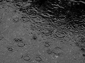
Environment Canada says we could see significant rainfall mixed with snow through overnight.
A Texas low is making its way to Southern Ontario bringing with it plenty of rain and the possibility of wet-snow.
Environment Canada has issued a Special Weather Statement highlighting the possibility of significant rainfall with 15 to 25 mm likely to fall over much of Southern and Eastern Ontario. Areas near lakes Erie and Ontario could see higher amounts of 25 to 35 mm.
The rain should move into our region early to mid-afternoon Monday.
There's the chance for wet-snow through the overnight as the mercury drops to near zero temperatures. Areas to the north and through higher terrains, such as Dundalk or Haliburton Highlands could see accumulating snow of 5 to 10 cm. Local higher amounts are possible, especially over the Bancroft through Algonquin Park area, as well as the higher ground southwest of Collingwood including Flesherton, Singhampton and Shelburne.
More spring-like weather is on the way this week. By Thursday, temperatures are expected to climb to the mid to high teens, erasing any memory of tonight's possible snowfall.
 Tip Tuesday with the Oxford OPP - June 2026
 Annual Highland Games Return to Embro
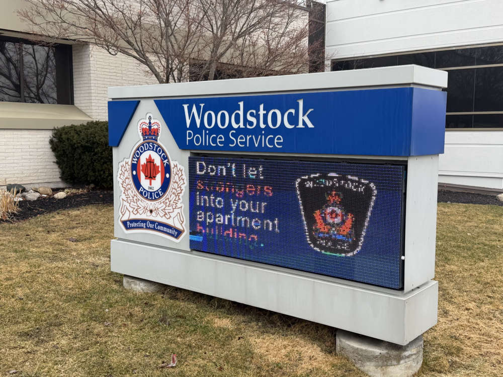 Woodstock Police Service Briefs - June 30th
 Tillsonburg Candidate Profile - Kelly Spencer
 Heat Wave Brings Heat Warning
 GoFundMe Created Following Work Incident
 OPP Remind Public on Helmet Safety
 Tillsonburg Candidate Profile - Chris Rosehart
 Canada Day Celebrations Coming to Woodstock
 Zorra Township Candidate Profile - Katie Grigg
 Oxford OPP Continue to Investigate Pride Flag Incidents
 Wienerfest Hits Burford Fairgrounds this Weekend
 South-West Oxford Candidate Profile - George Klosler
 Nostalgia Days Fast Approaching in Norwich
 Residential Fire in Tillsonburg
 SWOX Candidate Profile - Paul Buchner
 Interview with the Warden - June 25th, 2026
 Environment Canada Issues Yellow Watch for Thunderstorms
 Sally Creek Car Show Expands for DASO
 School's Out for Summer in Oxford County!


Comments
Add a comment