

Southern Ontario could see significant snowfall or messy wintery mix
It could be a very messy mix of weather for our region late this week and weekend.
According to Environment Canada, several disturbances are originating in Texas that are expected to track towards the Lower Great Lakes on Friday.
The weather agency says at this time it is tough to target the exact location of the front which will determine whether the precipitation falls as rain, freezing rain, ice pellets or snow.
In a special weather statement, they say the more potent disturbance approaches Southern Ontario on Sunday. This system is expected to grab moisture from the gulf and could bring significant snowfall accumulations to Southern Ontario Saturday night through Sunday. A significant area of freezing rain or ice pellets could fall across the Lower Great Lakes.
Environment Canada says there is still considerable uncertainty surrounding the disturbances that are tracking our way. A slight change in the storms tracks could affect the precipitation types and amounts. However there is a very good chance travel could be impacted over the weekend. Motorists are advised to monitor the situation and Environment Canada will issue any watches or warnings if necessary.
 Serious Collision Under Investigation in Norfolk
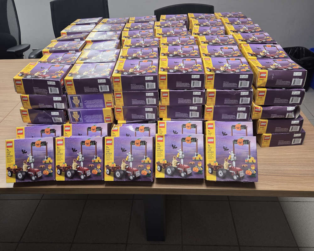 OPP Recover 191 Boxes of LEGO
 Woodstock Police Briefs
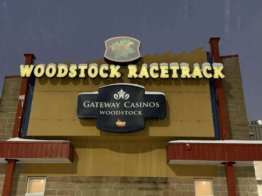 Woodstock Receives OLG Payment
 Operation Safe Driver Campaign Result
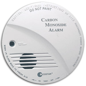 CO Awareness Hits Oxford County
 Norwich Township Candidate Profile - Shawn Gear
 Oxford County to Replace Water Meters
 Oxford OPP Investigating Scam in Tillsonburg
 Truck Fire Caused Delays on 401
 Environment Canada Issues Yellow Watch for Thunderstorms
 Pharmasave Woodstock Dragon Boat Festival Returns
 Norfolk OPP Briefs - July 20th
 Oxford OPP Briefs - July 20th
 Solicitor Scam
 Phase 2 of Oxford Road 2 Construction to Start this Week
 Woodstock Candidate Profile - Kelly Gilson
 Ingersoll Candidate Profile - Dave Cripps
 Impaired Driver Charged in Tillsonburg
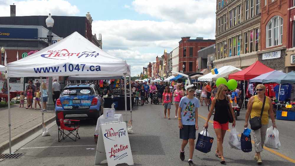 StreetFest Moving Forward in Woodstock