


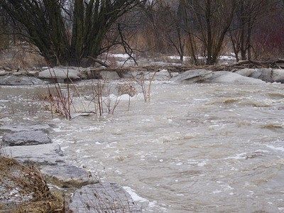
Southern Ontario bracing for plenty of rain and strong winds.
Significant rainfall is heading for southern Ontario.
An Alberta clipper and Texas low will combine over the Great Lakes and intensify in strength later in day Thursday, bringing along with it mild temperatures, plenty of rain and strong winds.
Environment Canada has issued a rainfall warning saying anywhere from 25-50 mm of rain is expected to fall on most of southern Ontario. The highest amounts are forecasted for the Windsor-Sarnia to Niagara-Hamilton corridor. There is the risk for thunderstorms Thursday afternoon and evening.
The Ottawa Valley are an exception to this forecast; they could see several hours of freezing rain with this system before transitioning over to rain.
The rain is expected to end by Friday morning in southwestern Ontario but behind that are strong winds, gusting from 70 to 80 km/h along with colder temperatures for the afternoon. Any precipitation for late-day Friday will most likely fall in the form of snow which could cause some dangerous driving conditions for the commute home.
People are being reminded to avoid the local waterways with slippery waterbanks, fast flowing water and unstable ice being a major concern with the snow and ice melt.
 Winning Lotto Max Ticket Sold in Oxford
 Voting Opens and Tickets Available for Chamber Awards
 Oxford Honours CFB Wainwright Victims
 SWOX Collision Sends 7 to Hospital
 Brantford Man Charged with Impaired
 News Poll: World Series 2026
 Woodstock Hockey Day Returns this Saturday
 GoFundMe Page Supporting Waterford Crash Victim
 OPP Investigating Collision Involving Tillsonburg Resident
 SWPH is Offering Vaccination Clinics
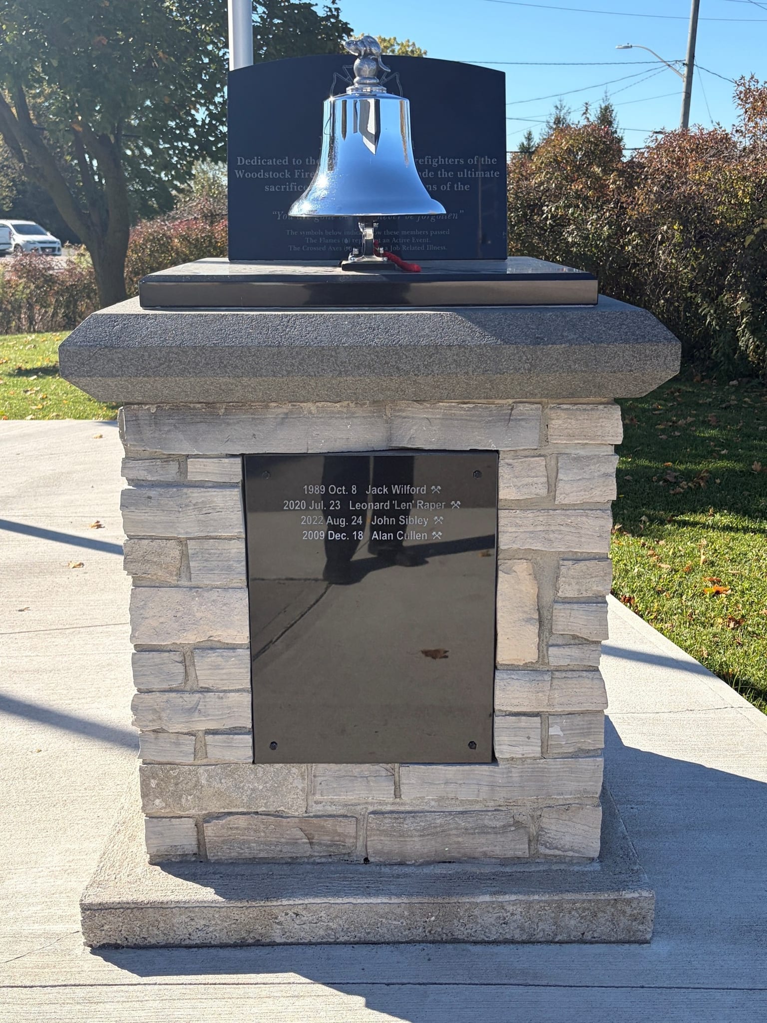 A Fallen Firefighter Honoured in Woodstock
 PJHL Recap - Oct 16th to Oct 18th
 Navy Vets Recap - Oct 16th
 Input Needed for RRHS Strategic Plan
 Sanitary Sewer Work Begins in Tillsonburg
 Two Charged with Drug Trafficking in Woodstock
 Local MP and Guests Visit Oxford Schools
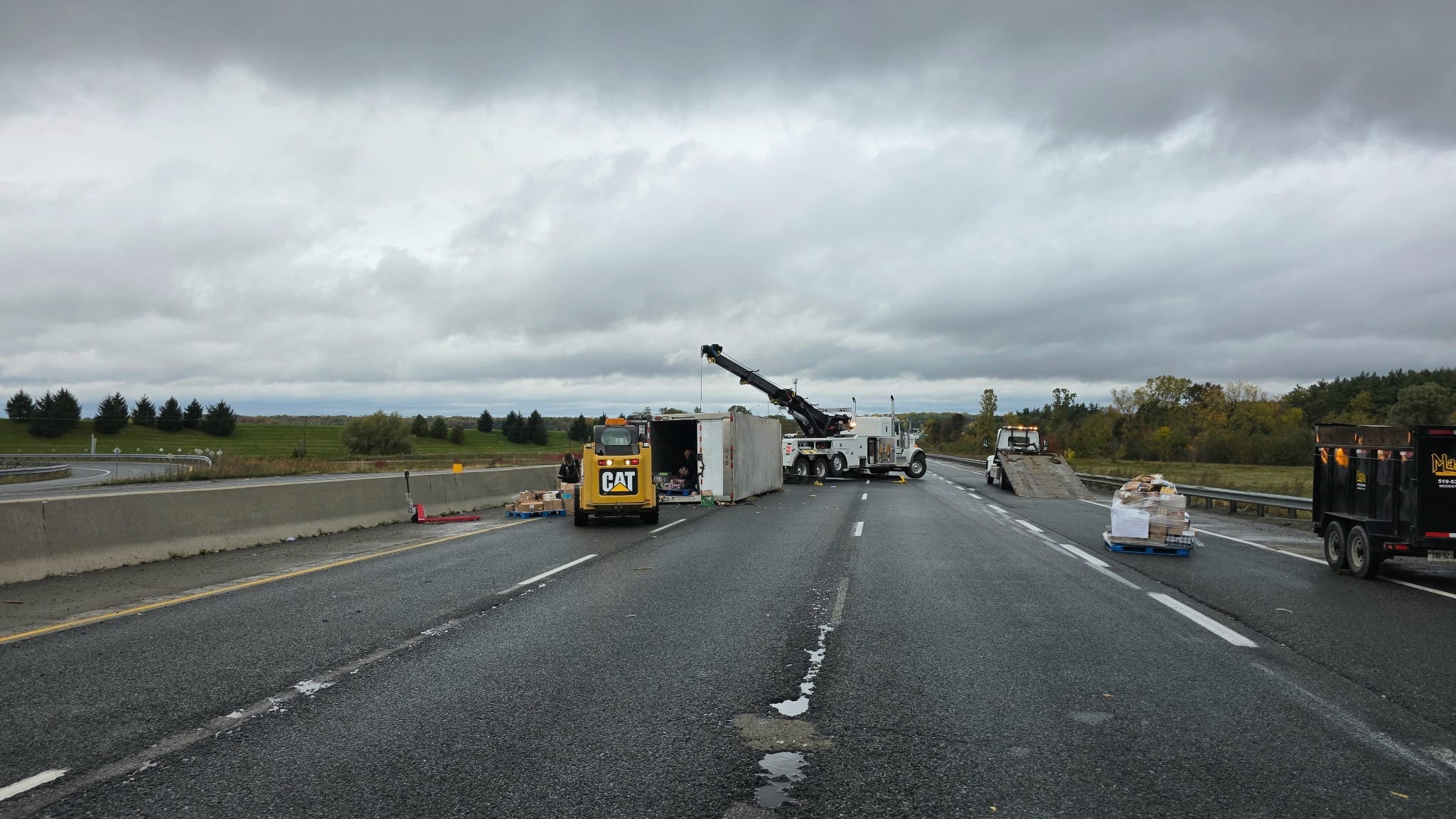 Oxford OPP Investigating Serious Collision
 PJHL Preview - Oct 16th to Oct 18th



Comments
Add a comment