


Environment Canada says we could see significant rainfall mixed with snow through overnight.
A Texas low is making its way to Southern Ontario bringing with it plenty of rain and the possibility of wet-snow.
Environment Canada has issued a Special Weather Statement highlighting the possibility of significant rainfall with 15 to 25 mm likely to fall over much of Southern and Eastern Ontario. Areas near lakes Erie and Ontario could see higher amounts of 25 to 35 mm.
The rain should move into our region early to mid-afternoon Monday.
There's the chance for wet-snow through the overnight as the mercury drops to near zero temperatures. Areas to the north and through higher terrains, such as Dundalk or Haliburton Highlands could see accumulating snow of 5 to 10 cm. Local higher amounts are possible, especially over the Bancroft through Algonquin Park area, as well as the higher ground southwest of Collingwood including Flesherton, Singhampton and Shelburne.
More spring-like weather is on the way this week. By Thursday, temperatures are expected to climb to the mid to high teens, erasing any memory of tonight's possible snowfall.
 OPP Runs 'Stay Focused' Campaign
 Rec & Leisure Fair is Back
 Oxford Stewardship Award Nominees Announced
 United Way Thanks Community for Successful Campaign
 Budget Supports Home Buying, Small Business
 Impaired Driver Charged in Ingersoll
 Scratch Ticket Turns into $50,000 for Woodstonian
 Interview with the Warden - March 26th, 2026
 WCI Captains/Veterans Basketball Game Returns!
 Baxter Named PJHL Trainer of the Year
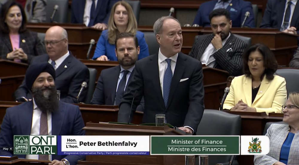
 Ontario to Table 2026 Budget Today
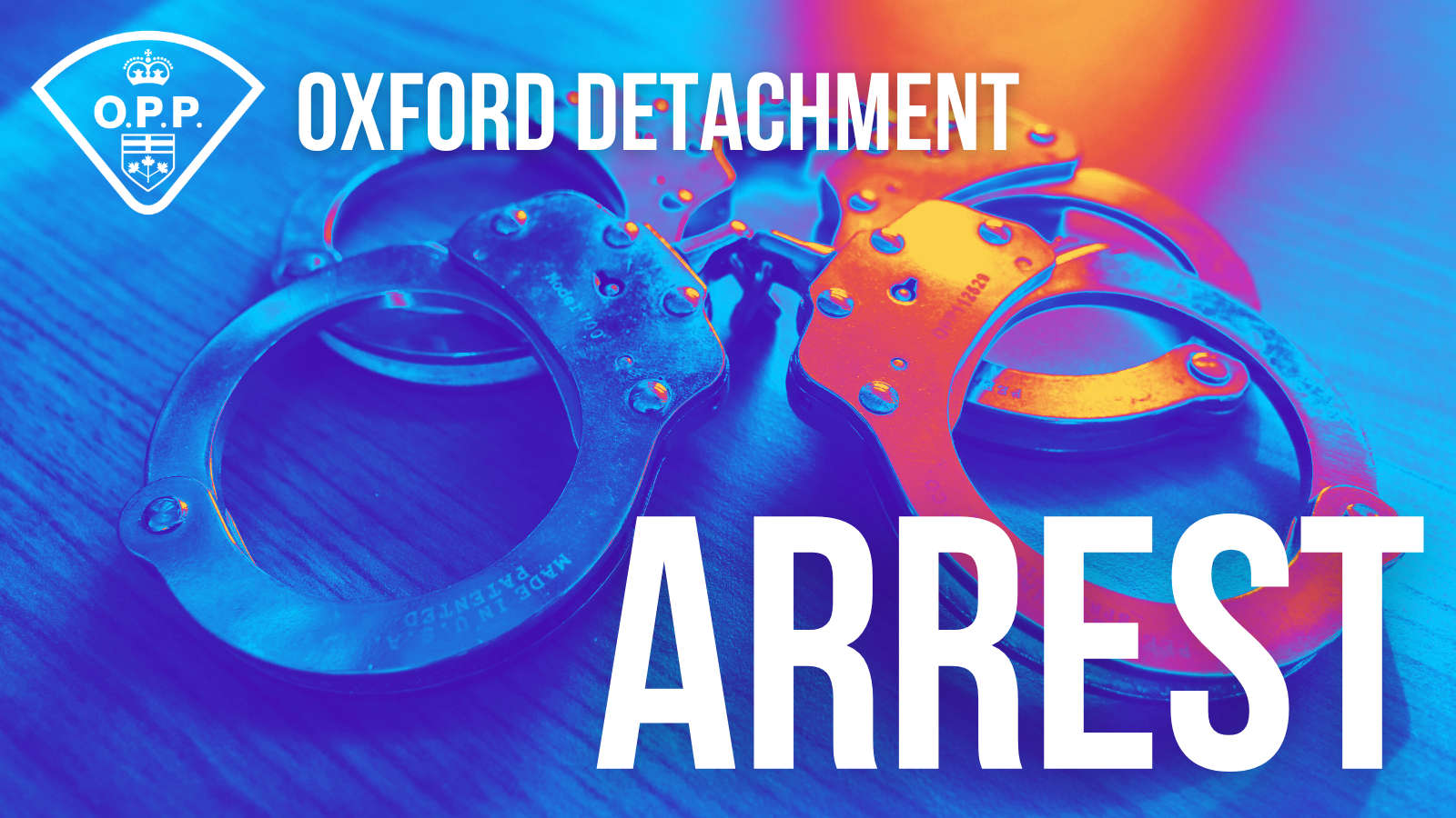
 UPDATE: Federal Offender Arrested in Kingston
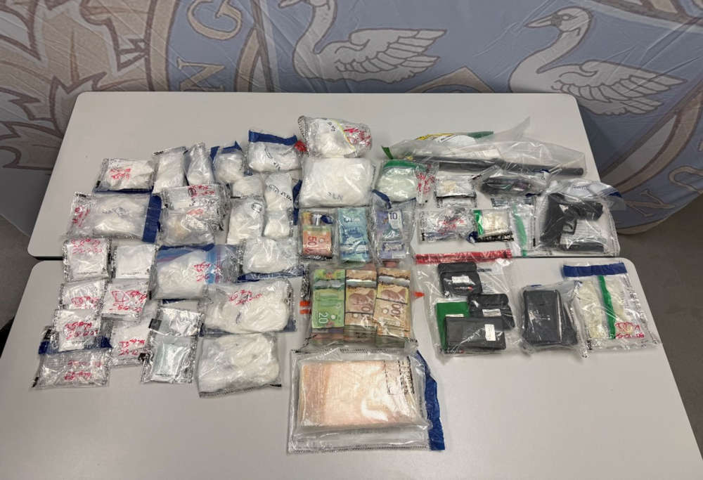 Project Sapphire Cuts Down Cocaine
 Stunt Driver Charged in SWOX
 Federal Minimum Wage to Increase
 Air Traffic Controller Shortage in Canada
 PJHL Playoff Recap - March 25th
 Introducing: the Woodstock Performing Arts Collective
 Illegal Drugs Seized in South-West Oxford
 Camp 85 Returns to Blandford-Blenheim


Comments
Add a comment