


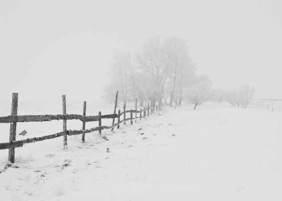
Snow is expected to hit the region on Wednesday night and all day on Thursday with the possibility of freezing rain also looming.
OXFORD COUNTY - Environment Canada has issued a special weather statement for most of Southwestern Ontario, including Oxford County.
A low from Texas is expected to move towards Southern and Eastern Ontario, probably following a track just south of Lake Erie and Lake Ontario Thursday.
This means snow will likely arrive Wednesday night, and it may become mixed with ice pellets before coming to an end on Thursday evening.
There is also a risk of freezing rain. At this point, total snowfall amounts are expected to be near 5 cm.
The worst travel conditions are expected on Thursday morning and afternoon. We will be keeping a close eye on the situation.
 Stuff the Bus Begins Today!
 Introducing the Woodstock City Council for 2026-2030
 Interview with the Mayor - November 16th, 2026
 PJHL Recap - Nov 13th to Nov 15th
 Navy Vets Recap - Nov 15th
 Edmonton Elks Win Grey Cup
 Ingersoll BIA Prepares for Holiday Campaign
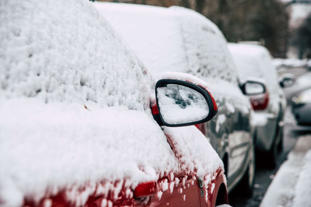 Winter Parking Restrictions Begin in Oxford
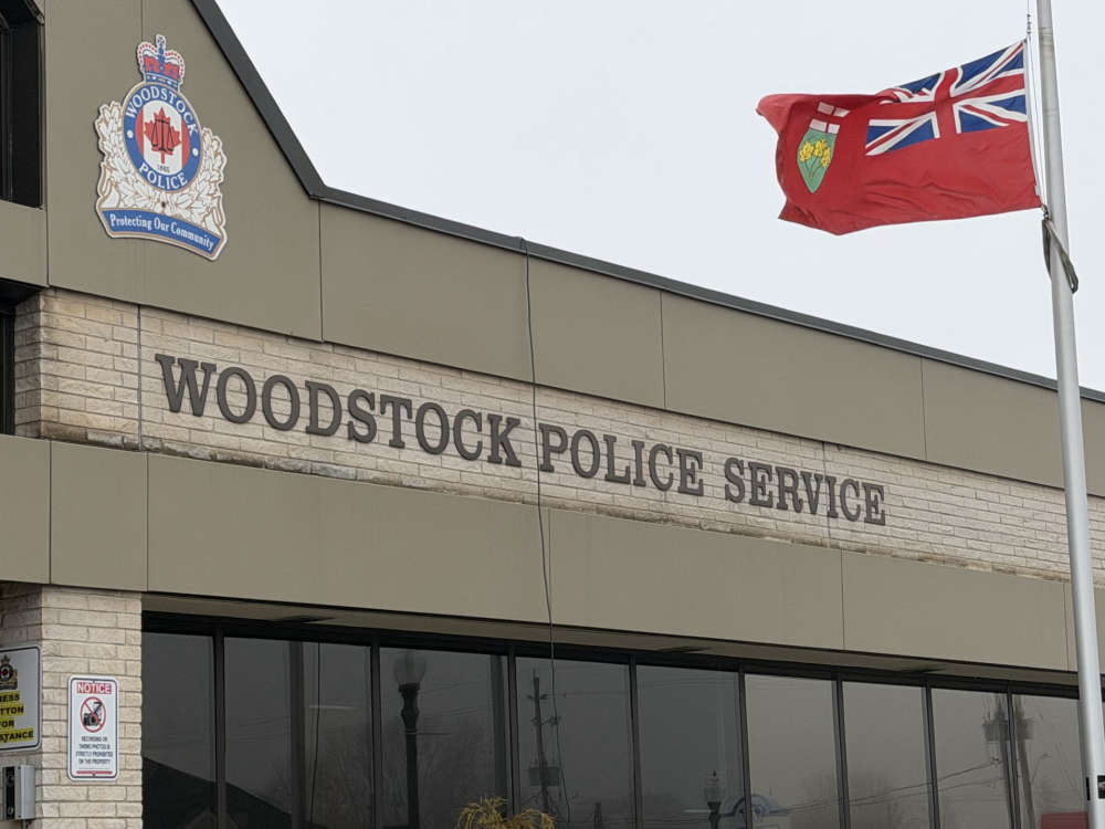 Pedestrian Killed in Woodstock Crash
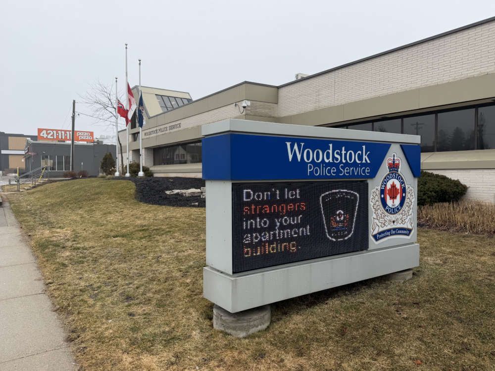 Woodstonian Faces Charges in Home City
 UPDATE: County Waives Development Charges Against Business Owner
 PJHL Preview - Nov 13th to Nov 15th
 Microsoft Outage Continues
 Norfolk OPP Presence for Friday the 13th
 Funding Supports Local Businesses
 Interview with the Warden - November 12th, 2026
 Upcoming Holiday Fundraisers for OCAR
 Recall Issued for Canadian Beer Brands
 Woodstock Holds Remembrance Day Ceremony



Comments
Add a comment