


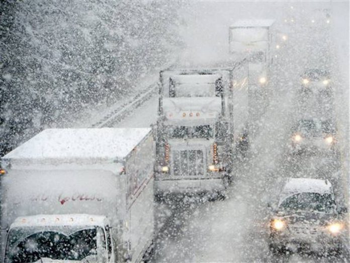
Environment Canada says we could get 10 to 30 centimetres of snow.
OXFORD - We're about to get a blast of winter in Oxford County.
Environment Canada has issued a snow squall watch with the possibility of 10 to 30 centimetres over the next couple days. It should start today and officials say it could continue into tomorrow night, but we should get the worst of it tonight.
We could also see wind gusts between 60 and 70 kilometres per hour which could blow the snow around and make it hard to see at times. Make sure you drive carefully and prepare for changing road conditions if you have to go anywhere.
Under Environment Canada's new colour-coded weather alert system, this snow squall watch is classified as a yellow alert. This means the weather could cause damage, disruption or health impacts, but the impacts should be moderate, localized and/or short-term. You can read more about the new colour-coded alert system online here.
 Province Backs New ArcelorMittal Tailored Blanks Facility
 12 Days of Christmas Lottery Returns!
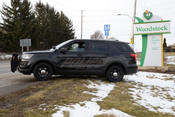
 Woodstock Driver Charged with Impaired
 Woodstock Woman Faces Weapons Charges
 UPDATE: Vehicle of Interest Identified in Hit-and-Run
 Oxford County Paramedic Services Honoured
 South Gate Expansion in the Home Stretch
 WCI RedPlayers Present: Time After Time, A Musical Revue
 United Way Launches Online Auction
 Police Briefs - December 3rd, 2025
 Drugs and Weapons Charges Laid in Waterford
 Child Falls from Balcony in Woodstock
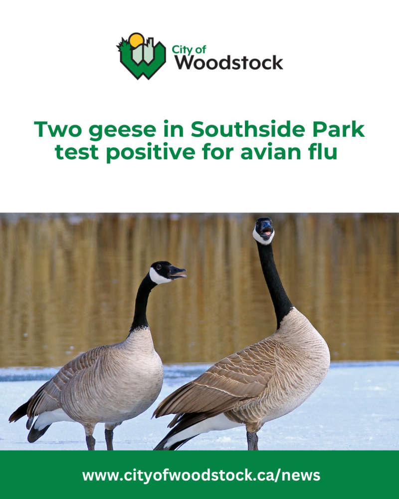 Avian Flu Reported in Woodstock
 Oxford County Man Charged in Brant County
 Impaired Driver Charged in SWOX
 BBBS Oxford Looking to Spark Holiday Cheer
 Pedestrian Struck in Paris
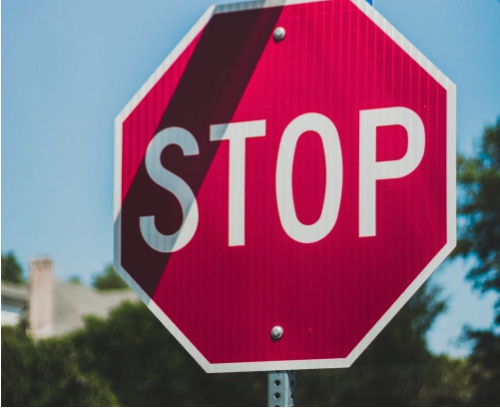 New Three-Way Stops in Plattsville
 United Way Oxford Honours Giving Tuesday
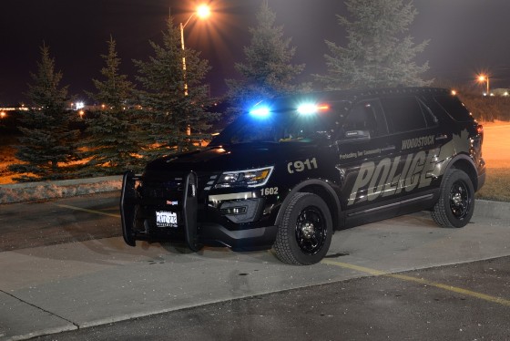
 WPS Briefs - Dec. 1st, 2025


Comments
Add a comment