


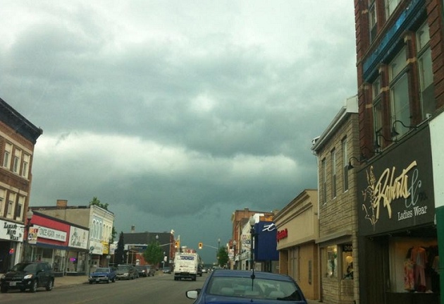
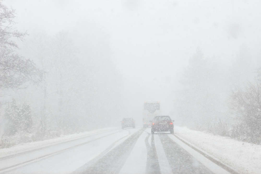
Environment Canada has issued a severe thunderstorm watch for most of Southwestern Ontario, including Oxford County.
UPDATE: Environment Canada has upgraded the severe thunderstorm watch, to a severe thunderstorm warning.
Warning's are issued when severe weather is imminent. We are expecting strong wind gusts that could reach as high as 90 km/hr and torrential downpours that could result in flash flooding.
Environment Canada has issued a severe thunderstorm watch for most of Southwestern Ontario, including Oxford County.
Thunderstorms are expected to develop near Lake Huron and Georgian Bay by early this afternoon. These storms are expected to track into southern Ontario late this afternoon and early evening.
Damaging wind gusts may be associated with some of these storms as well as torrential downpours, frequent lightning and hail. There will also be the risk for an isolated tornado.
Strong wind gusts can toss loose objects, damage weak buildings, break branches off trees and overturn large vehicles. Lightning kills and injures Canadians every year. Remember, when thunder roars, go indoors!
 Oxford OPP Briefs - Feb. 11th, 2026
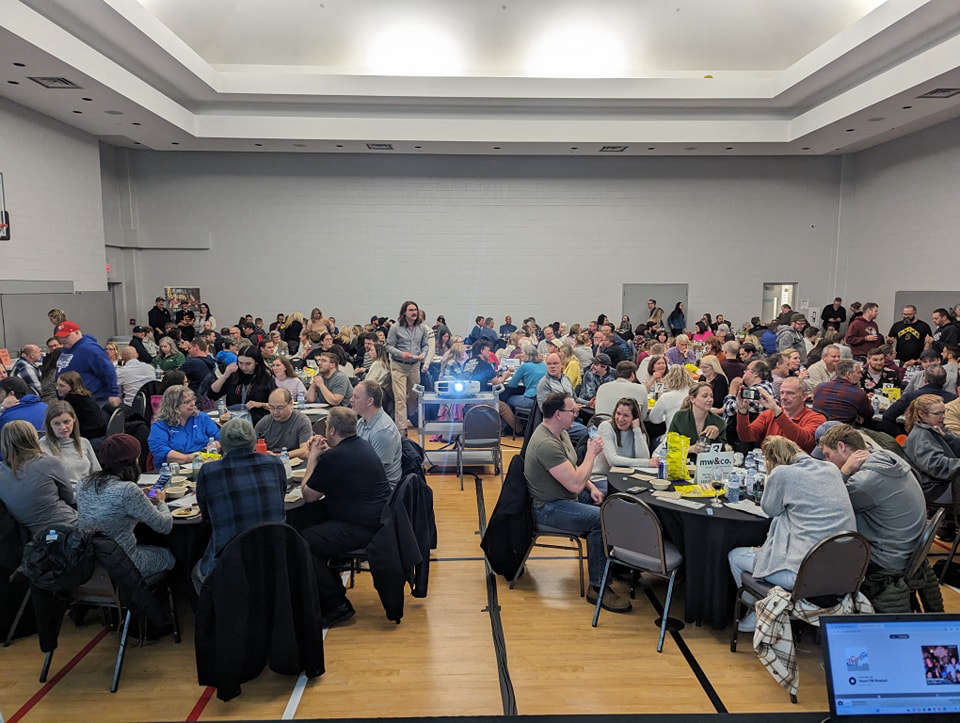 Registration Open for BBBS Trivia Nite
 Theatre Tillsonburg Presents: Hilda's Yard
 National 211 Day in Oxford County
 Charges Laid After Break-and-Enter in Norwich
 OCF Announces Grant Funding
 Public Information Centre for Devonshire Ave Resconstruction
 UPDATE: Ottawa Denies Tax Relief Request for CAMI Employees
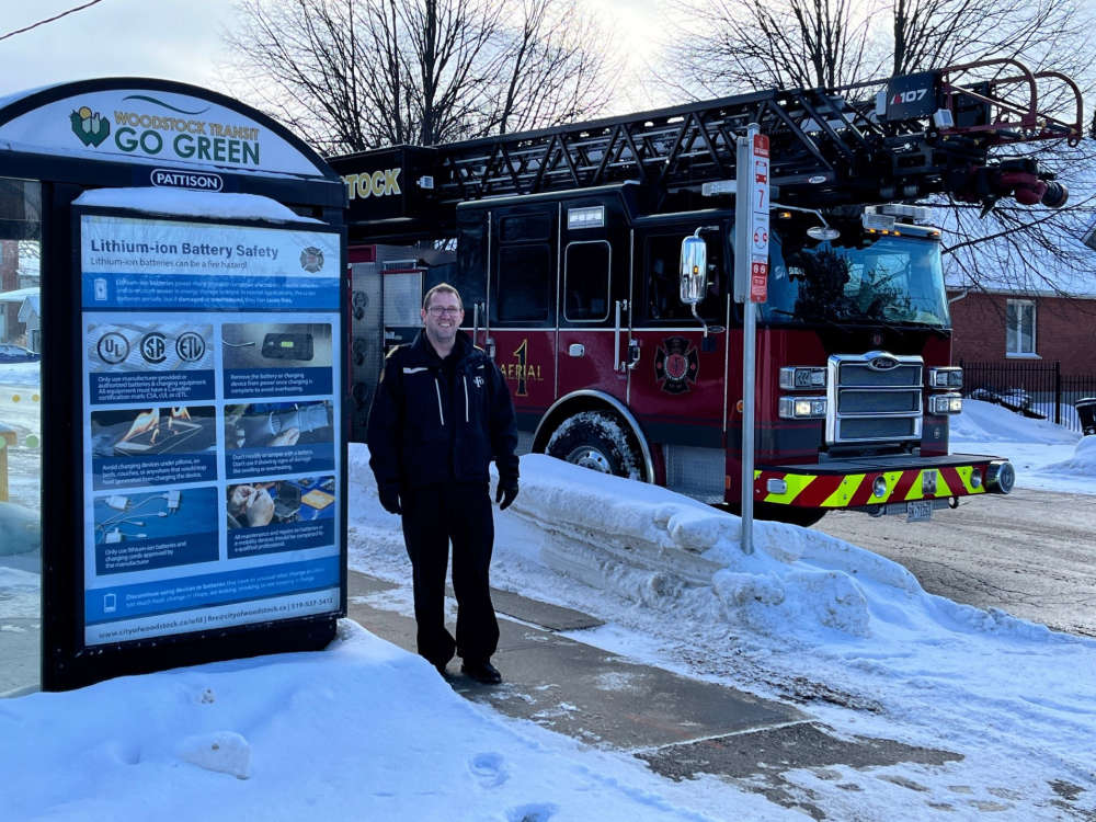 WFD Launches New Public Awareness Campaign
 News Poll: Winter Olympic Sports 2026
 PJHL Recap - Feb 6th to Feb 8th
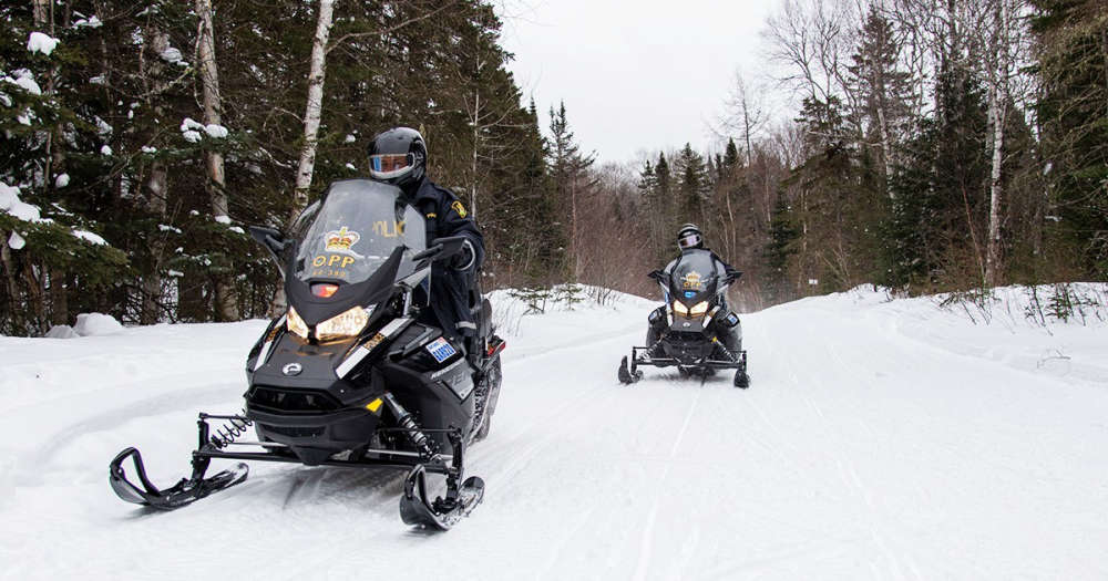 Snowmobile Safety Tips from Oxford OPP
 Seattle Seahawks Win Super Bowl LX
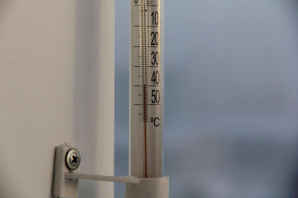 Extreme Cold Continues in Oxford
 Norfolk OPP Briefs - February 8th, 2026
 Charges Laid in Two WPS Traffic Investigations
 Teen Facing Weapons Charges in Delhi
 UPDATE: Oxford Braces for Extreme Cold and Blowing Snow
 Woodstock Chamber Promoting Local Businesses
 WPS Conduct Open Air Drug Enforcement


Comments
Add a comment