


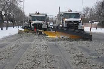
Environment Canada increases the expected snowfall amounts for our region.
More snow is on the way.
Environment Canada has issued a Special Weather Statement affecting areas from Windsor, to the Niagara Region, over to Toronto and as far east as Cornwall. The system, which is drawing its moisutre from the Gulf of Mexico, is expected to arrive in southern Ontario this evening.
Here in Oxford County, we can expect anywhere from 10-15cms of snow by mid-day Wednesday. The heaviest snowfall is expected Wednesday morning, which could make for a treacherous morning commute.
Brant County has been placed under a snowfall warning, where the accumulations could reach 20cms from the system. Areas closer to Lake Erie are expected to receive heavier snowfall, while communities closer to Lake Huron will be spared for a change, getting only 2-5cms.
The weather agency is warning of poor driving conditions for the Wednesday morning commute. Motorists can expect accumulating snow on the roads with poor visibility late tonight into tomorrow morning and are encouraged to allow extra travel time with the threat of hazardous road conditions along the 401 corridor.
 Mischief at Emily Stowe Public School
 Charity Sale Supporting Juvenile Arthritis Research
 Nomination Deadline Approaching for Municipal Election
 Community Grant Applications Open in Woodstock
 Cowapalooza Weekend Arrives in Woodstock
 Interview with the Warden - August 13th, 2026
 SWOX Candidate Profile - John de Bruyn
 Oxford OPP Briefs - August 13, 2026
 Woodstock Candidate Profile - Aaron Gorlick
 Miracle Treat Day Arrives in Oxford
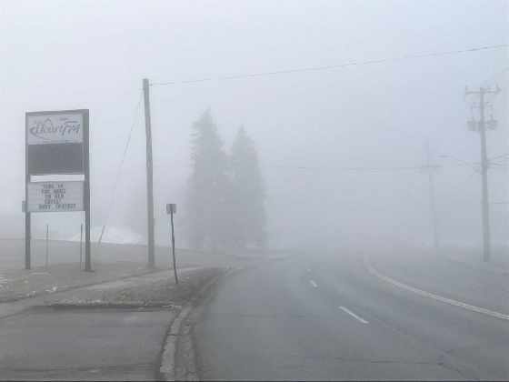 Fog Advisory Issued for Oxford
 Oxford OPP Briefs - Aug. 12th, 2026
 Woodstock Candidate Profile - Connie Lauder
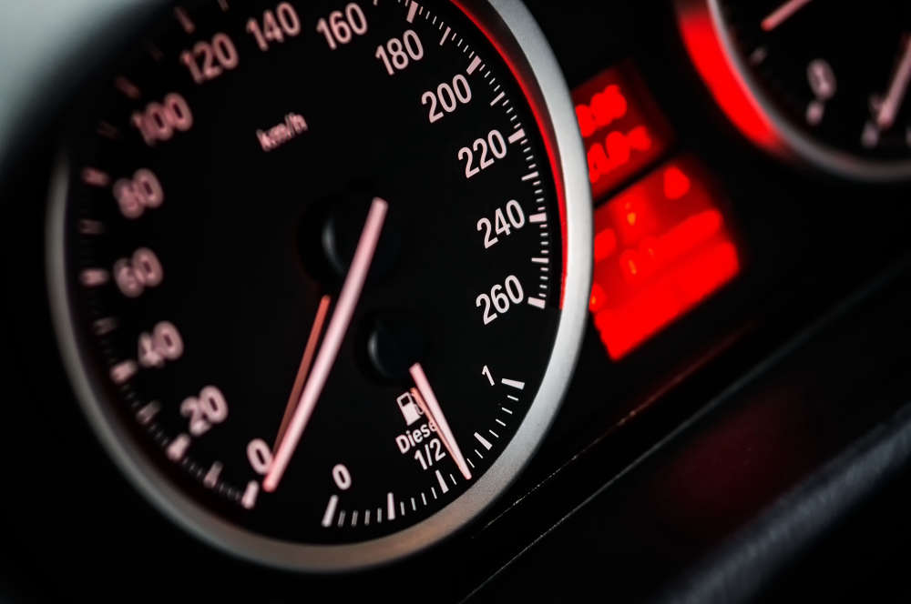 Stunt Driver Busted in Thamesford
 A New Home for the Mount Elgin Library?
 One Dead in Three Vehicle Crash in Perth County
 Impaired Driver Charged in Tavistock
 Woodstock Candidate Profile - Kate Leatherbarrow
 Oxford County to Review Tavistock Paramedic Station
 Charges Laid in Single Vehicle Crash



Comments
Add a comment